The map features and details about how to use the map navigation tools are below the map. You can also use keyboard navigation.
Further information about accessibility at the Art Trail can be found on the Plan Your Visit page.
If you find this map difficult to use, individual venue pages have access guides. You can also view and download a PDF of the printed 2026 trail map.
Map features

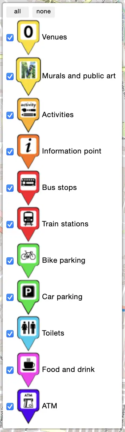
Venues
Locations of all the venues. With the address, link to individual venue pages, and the names of the artists.

Murals and public art
Locations of all the murals, public art, and live mural painting. Follow them all on the ‘mural trail’.

KAT letters
Location of the KAT letters.
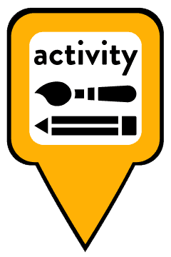
Activities
Locations of all the activities. What – workshop, demonstration, performance, etc. When – time and day. Where – venue number and address. Whether it’s drop-in or ticketed. Cost – some activities may have a small charge. Links to the activity directory and venue page.
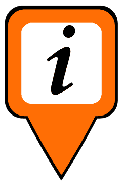
Information point
The address and what3words location.
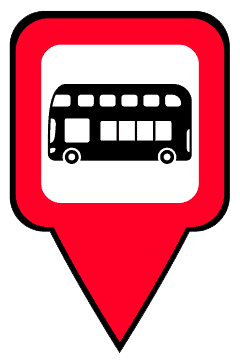
Bus stops
Direction of travel, route numbers, bus stop name, and bus stop ID number.
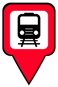
Train stations
Address, what timetables serve the station, external links to timetables and information about the station.
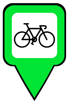
Bike parking
Exact locations, bike stand spaces, and any restrictions.
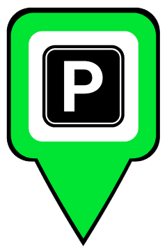
Car parking
Cost, any restrictions, disabled spaces, and EV charging points.
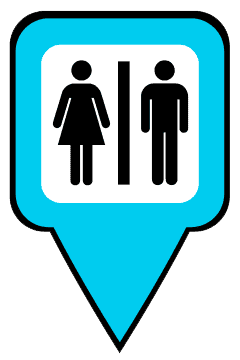
Toilets
Toilets that are open to the public. Features can include – separate male and female toilets, gender inclusive toilets, accessible toilets, baby changing facilities, or changing places toilet.

Food and drink
Our recommendations. The food and drink served, access, toilets, suitable for families, whether dog friendly, plus if there is a car park or outdoor seating.
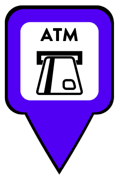
ATM
Location of cash withdrawal points.
Map navigation tools
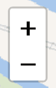
Zoom
Using these buttons you can zoom in or out on the map to show more details, or expand the map area.
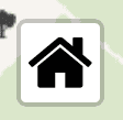
Home
Using the home button resets the zoom and location, back to the initial map layout.
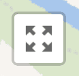
Fullscreen
Using this button, the map will enter into fullscreen, this gives you a larger viewing area. Pressing it again will return it back to the page.
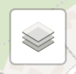
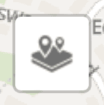
Map layers
If this icon is shown, it means you can switch between different styles of base map.
Markers
If you click on this icon, it will reveal a list of all the marker categories. Using the buttons at the top, you can select either ‘all’ or ‘none’. When you select ‘none’, all markers will disappear from the map. You can then pick a single category from the list; this can be useful if you are only wanting to search for one category at a time, for example, bus stops. All the markers will reappear when you select ‘all’.
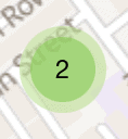
Marker clusters
When the map is zoomed out, map markers that are close together will group into a cluster. This prevents the map from becoming cluttered and makes it easier to view and navigate. When you click on a cluster, the map will zoom in and the map markers will separate.
The cluster is a green circle with a number in the centre, representing how many markers are in that location. When more markers group together, the colour will change. If there are over 10 markers, the cluster colour will become yellow. If there are over 100, it will become red.
List of current markers
The ‘all’ or ‘none’ buttons are in grey at the top. The catergories are listed beneath. The blue tick indicates that a marker is selected.
Keyboard navigation
The map is accessible by keyboard. You will first need to highlight the map either by using the tab key or by clicking on it.
Navigate the map by using the:
- arrow keys for panning (moving around).
- + (plus) or - (minus) keys for zooming in and out.
- tab key to highlight individual map markers.
- enter key to open the map marker pop-up.
- esc key to close the map marker pop-up.